Campus Limburg DC gets digital twin
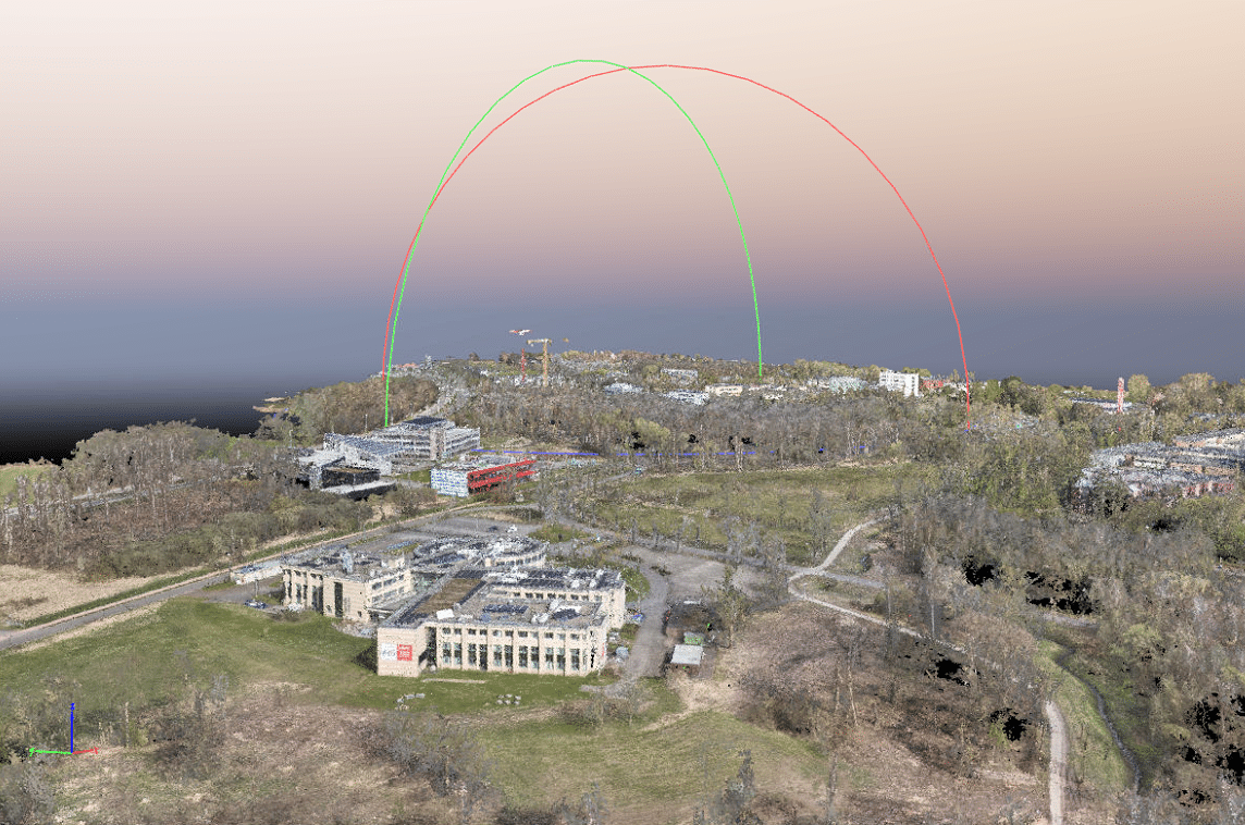
DIEPENBEEK - A drone from PXL University of Applied Sciences flew over Limburg DC this weekend to take full pictures of the campus. Earlier, a car with a laser scanner on the roof also drove around. All this is part of a project by POM Limburg to develop a so-called digital twin: a digital 3D model of the campus, which can be used to virtually simulate future construction and infrastructure projects.
"With the digital twin we can assess future developments much more realistically," says Stijn Vercampt, Manager Team Economic Space at POM Limburg. "We map the impact on environment, resources and mobility in advance. That helps to plan better, control costs and avoid unpleasant surprises."
"During the flight and drive, millions of data points are collected, so-called 'point clouds', which are used to build a detailed terrain model. That model includes buildings, roads, relief and greenery on campus," says Sam Ottoy, researcher at PXL BIO-Research. "To avoid disruption, we deliberately carry out the flight over the weekend."
Smart campus
The digital twin is part of a broader ambition to develop Limburg DC as a smart campus. To this end, POM Limburg is working with the knowledge institutions on the site to develop digital solutions for spatial planning. Climate data and environmental data will also be collected for scientific research.
Fast-growing
Limburg DC in Diepenbeek is a fast-growing campus where education, research and entrepreneurship come together. The site houses, among others, Bouwcampus 2.0 and Health Campus Limburg. Many new building projects are planned in the coming years. Work on the new gatehouse and associated parking building is already in full swing.
In the next few months, researchers from Hogeschool PXL and UHasselt - Digital Future Lab will start working with the captured images to work on different visualisations.
 NL
 EN