POM Limburg deploys drones for topographical measurement Campus Diepenbeek
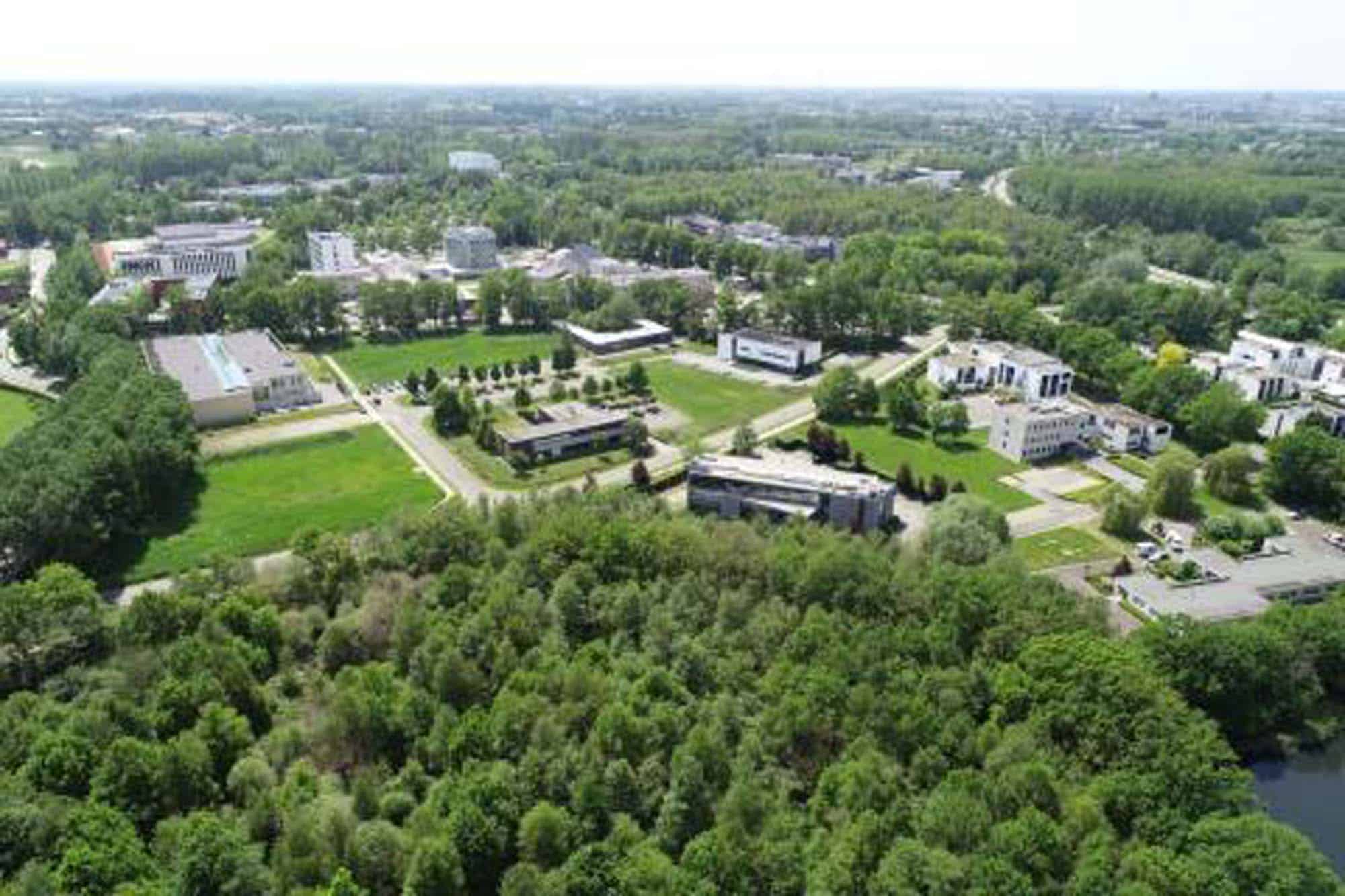
The plans for Campus Diepenbeek are becoming more and more concrete. For example, POM Limburg recently had a topographical measurement of the entire site carried out. Not by a surveyor as it is done the traditional way, but with a drone that takes detailed measurements from the air.
Campus Diepenbeek will be one of the most important intersections in Limburg, with space for education, research, business and recreation. The ambitious master plan - which looks towards 2050 - was developed in recent years with POM Limburg as director, and is now taking increasingly concrete shape.
Commissioner for the economy and chairman of POM Limburg Tom Vandeput: "In terms of timing, we are fully on schedule. The goal is to open BioVille 2 in 2023, and the gatehouse and additional buildings in 2024. We are already taking some major steps this year. For example, we recently completed the topographical survey and launched a design competition with the Flemish Master Builder."
3D data
An organisation that sets great store by innovation naturally also opts for new technologies in its daily operations. POM Limburg did not use a traditional surveyor with GPS and 'total station' (the surveyor's measuring instrument) for the topographical survey - a detailed measurement of the existing situation - but turned to the Diest company Divatec. The latter used drones to map the total site area of 76 hectares using 3D data. No detail was lost: every paving, stream, gutter or ditch was captured. Even tree species were inventoried using software that recognises their leaves.
 NL
 EN